
by LAURA KEIL
The online BC Wildfire map has become a go-to source this summer, not just for journalists but for anyone concerned about wildfires in their area.
So you might be surprised that some fires aren’t on this map – including a fire 5km East of Tete Jaune. So should you be concerned?
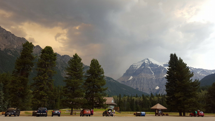
The fire between Tete Jaune and Mt. Robson began this May due to a tree on a powerline. The fire has devoured approx. 500 hectares of forest. Ministry spokesperson Olivia Pojar could not confirm how big the fire is right now, other than to say it’s “Under Control.”
“This means that the fire has received sufficient suppression action to ensure no further spread. The fire’s status will not be changed to Out until it has been entirely extinguished. This can sometimes not occur until it snows,” she told the Goat in an email.
She says it requires detailed GPS work to determine exactly how much of a fire is still burning. Exact sizes of ‘areas still burning’ are not generally collected by BCWS.
She says fires that have the status of “Under Control” are generally smouldering and often any burning is happening under the ground. She says this fire is no longer producing significant smoke.
She says residents can check http://firesmoke.ca to learn more about where smoke is coming from.
So how do firefighters ensure a fire is contained?
Pojar says containment means a control line has been completed around the fire (and any associated spot fires), which can reasonably be expected to stop the fire’s spread. Control lines can mean a naturally occurring barrier (such as a body of water or a road) or a constructed fire guard.
So why not list this fire on the map as active?
Pojar says the interactive map gets quite a lot of use (especially so far this fire season) and fires with the status “under control” would take up a lot of space on the map and could lead to confusion.
